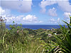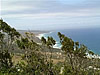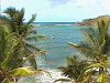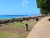


Barbados Scenic Lookouts
From your first day on Barbados you'll discover the difference. As you relax in the wonderful warmth of the sun and feel at home with our style of life, your curiosity will be stimulated by the unique environment around you. The secrets of the island beckon to you. So grab a map and ask around. You're on your way to the discovery of our special secrets ...
Select a point from the list below or click on the interactive map to find out more!
- Animal Flower Cave
- Bathsheba
- Beachmont Community Park
- Chalky Mount Potteries
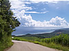
- Cherry Tree Hill
- Conset Bay
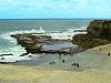
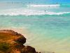
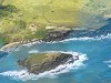
- Cove Bay
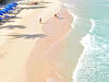
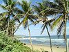
- Crane Beach
- Culpepper Island
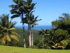
- Farley Hill
- Flower Forest Botanical Gardens
- Freights Bay
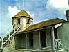
- Grenade Hall Forest & Signal Station
- Gun Hill Signal Station & Lion
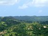
- Hackleton's Cliff
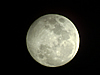
- Harry Bayley Observatory
- Hastings Rocks
- Highland
- Hillcrest Community Centre
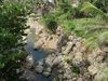
- Joe's River
- Little Bay
- Mount Hillaby
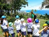
- PEG Farm and Nature Reserve
- Ragged Point
- Skeetes Bay
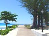
- South Coast Boardwalk
- Trevor's Way